Description
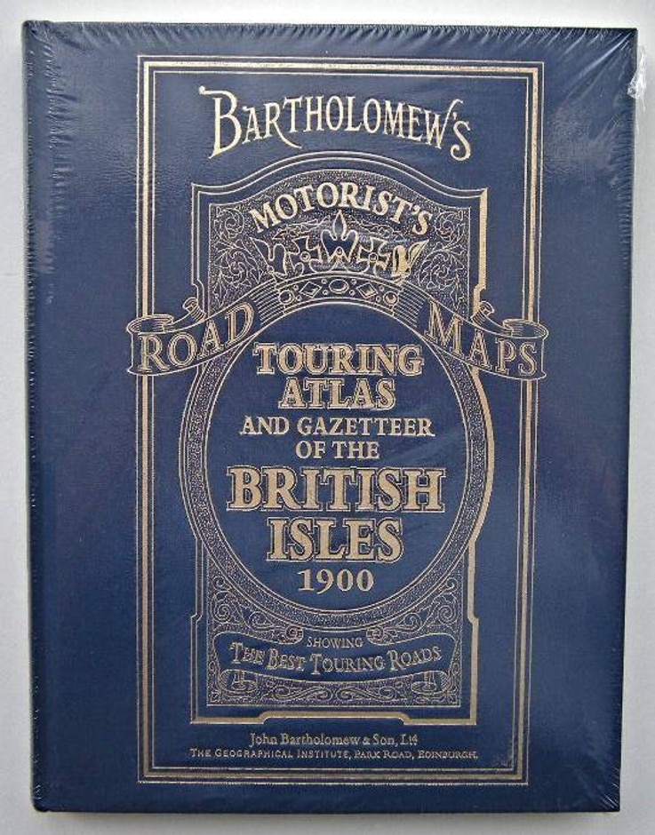
A special edition of the Facsimile edition from 1998, by HarperCollins – published in 2013 From the Publisher’s Note: This Bartholomew Touring Atlas and Gazetteer of the British Isles has been recreated from the Practical Motorist’s Touring Maps and Gazetteer published by John Bartholomew and Sons Ltd. Edinburgh. These maps were produced between 1897-1903 from reduced Ordnance Surveys at a scale of 4 miles to 1 inch. The original map series was hand-drawn, hand-lettered and printed from copper-engraved plates at the Bartholomew premises in Park Road, Edinburgh. Subsequent additions and corrections to the maps were made directly onto the copper plates, consequently some of the pages may carry later additions to the original cartography. The atlas does however, accurately, represent the first ever Bartholomew Motorist’s Atlas and shows in detail the roads, railways, canals and settlements as they existed at that time. The Gazetteer, originally compiled in 1900, lists many of the important settlements and physical features shown on the map pages. This Gazetteer may also contain some later corrections. In order to make the original documents easier to interpret this edition has been published at a slightly enlarged scale. The Atlas and Gazetteer is introduced by text extracted from The Highways and Byways of England by T. W. Wilkinson and published by Iliff and Sons Ltd. London and Coventry in 1900. This introduction charts the history and development of our road system and predicts, with uncanny accuracy, the future of both road and rail transport within Britain.