Description
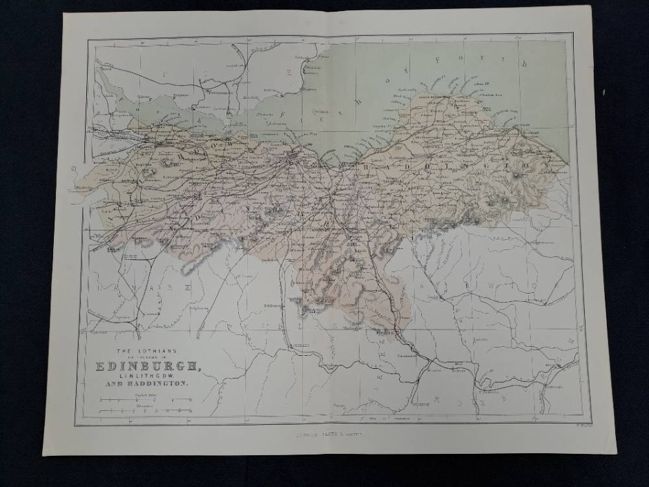
The Lothians, or The Counties of Edinburgh, Linlithgow and Haddington This vintage map has been detached from a copy of the National Gazetteer, published c 1875 by Virtue & Co. Each map is printed on a single sheet of paper, which was folded and then tipped in to the book, so there is a central fold and on the reverse there is a strip of paper which was bound into the book. The maps when unfolded therefore have a central fold, but not a ‘seam’. [See photo for typical example of reverse] All the maps listed may have some signs of age – e.g. slight foxing or wear to the edges of the page. Any more significant damage will be noted on an individual listing. Each sheet measures approximately 33.5×27.5 cm.